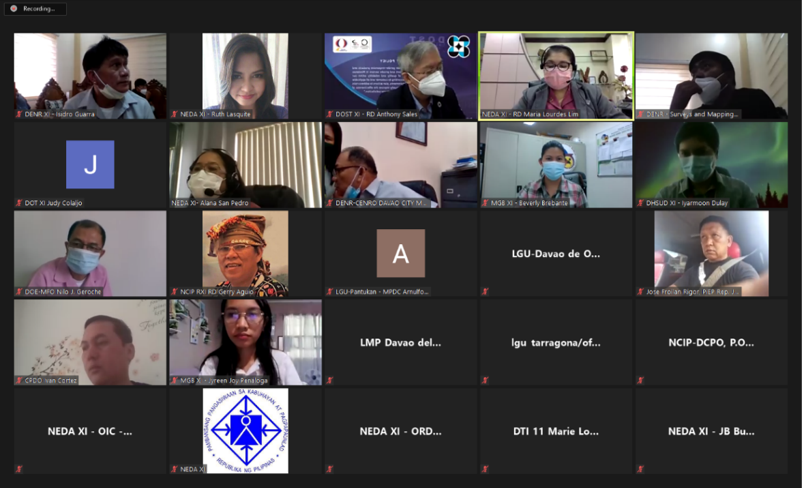
Chaired by NEDA XI Director Maria Lourdes D. Lim CESO II, the Regional Land Use Committee XI convened for its 4th quarter meeting on November 23, 2020 via Zoom videoconference.
The Committee mainly discussed issues in Marilog District, Davao City, particularly on the unregulated economic activities, such as traveler’s inn and lodges and resorts, in areas classified as timberlands and within ancestral domains; overlapping land uses and tenurial instruments; and boundary conflicts with Regions X and XII. Chairperson Lim said that the purpose of the meeting was to thresh out all issues so that possible solutions can be crafted.

During the meeting, the Committee agreed that the Davao City Government shall take the lead in the creation of a joint monitoring team, with DENR XI, NCIP XI, and DOT XI as members; primarily to conduct inspection activities on business establishments in Marilog District. Davao City was also enjoined to conduct a joint session of the various Sangunians/legislative councils of Local Government Units in Regions X, XI, and XII to discuss, agree and resolve the boundary conflicts of Davao City with other local government units for a definitive land use regulation in these areas.
For a more detailed study on the issues at hand, the Committee also agreed that the Davao City Government shall take the lead in the preparation of a One Control Map for Marilog District, which shall overlay the various land uses, tenurial instruments, as well as show whether these areas are within the ancestral domain or have overlapping land uses. This initiative shall commence upon the issuance of an Executive Order by the Davao City-LGU creating the joint monitoring team.
To assist in the updating of their comprehensive land use plans (CLUPs), the Committee enjoined the LGUs in Davao Region to utilize the results of the geohazard assessment of the MGB XI, particularly the updated hazard maps for flooding and rain-induced landslides.
To proactively generate the databases for the land use plans and zoning maps of all LGUs, the Land Use Zoning and Information System (LUZIS), 3-year project by the DHSUD XI was presented to the Committee. Among the objectives of the LUZIS program are to: a) provide information on land use plan formulation and implementation in the country, b) generate a database of all land use plan and zoning maps of all LGUs, and c) set up a web-based GIS system that will connect various Government institutions (Regional Offices, NGAs, P/CLGUs) and d) provide information to the general public on land-use use plans and maps. The LUZIS project shall officially be rolled-out by DHSUD XI in 2021.
JB Busque/NEDA Davao
